
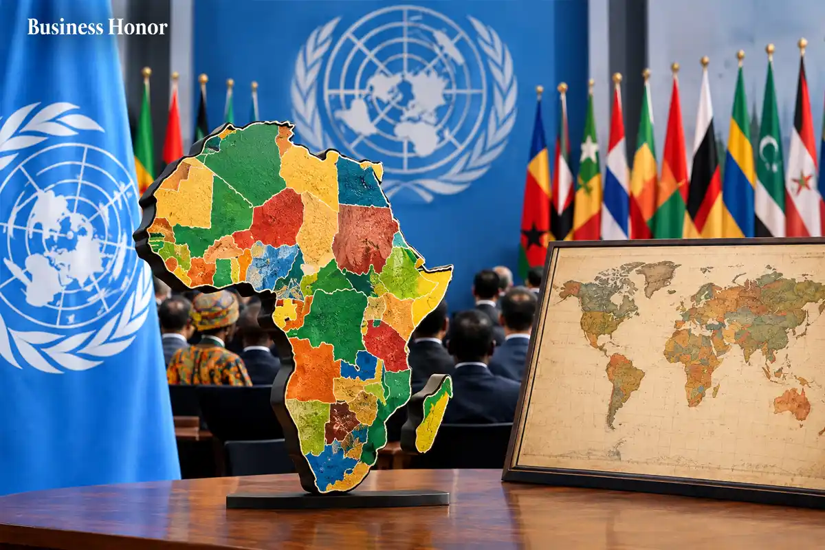
The UN backs a new Africa Map that shows the continent more accurately, challenging the Mercator Projection and how people have viewed Africa for centuries.
|
The United Nations General Assembly has backed a new Africa Map that shows the continent’s size more accurately. A total of 164 countries supported the “Correct the Map” resolution. The US was the only country to vote against it, while six countries abstained.
The decision is not legally binding. Still, it could push UN bodies and other institutions to rethink their use of the familiar World Map based on the Mercator Projection.
For years, the Mercator map has made Africa look much smaller than it is. Africa is about 14 times larger than Greenland, yet the two can appear close in size on the traditional map.
Why has this distortion gone largely unnoticed for so long?
The Mercator Projection was created in 1569 by Flemish cartographer Gerardus Mercator. It was built to help sailors navigate. It was never designed to show the true size of continents.
The problem comes from trying to turn a round Earth into a flat sheet. Countries closer to the North and South Poles appear much bigger, while areas around the equator look smaller.
A different approach came in 2018 with the Equal Earth Map. It was designed to show land areas in their correct proportions. The African Union’s 54 member states adopted it in February.
The campaign behind “Correct the Map” argues that the change is about more than geography. It says Africa’s smaller appearance on common maps can affect how people think about its resources, population and economic potential.
Can a map really influence how the world sees a continent?
Togo sponsored the UN resolution and received strong support from African countries. Foreign Minister Robert Dussey said a fair world needs a fair map. He argued that maps shape how people understand different parts of the world.
France has also backed the move. Foreign Minister Jean-Noël Barrot said his ministry would stop using the Mercator map.
The US strongly disagreed. Its representative said the UN should spend its time on issues such as peace, prosperity and international relations rather than map projects.
Business Honor asks is this really about maps, or about who controls the story?
The answer may be both. Changing the UN World Map will not alter Africa’s land, wealth or influence. But it could change a picture that billions of people have seen since childhood.
That is why the debate matters. The new Africa Map does not change reality. It simply gives reality a more accurate shape.








.webp)

.webp)


.webp)


Comments
0 Comments