
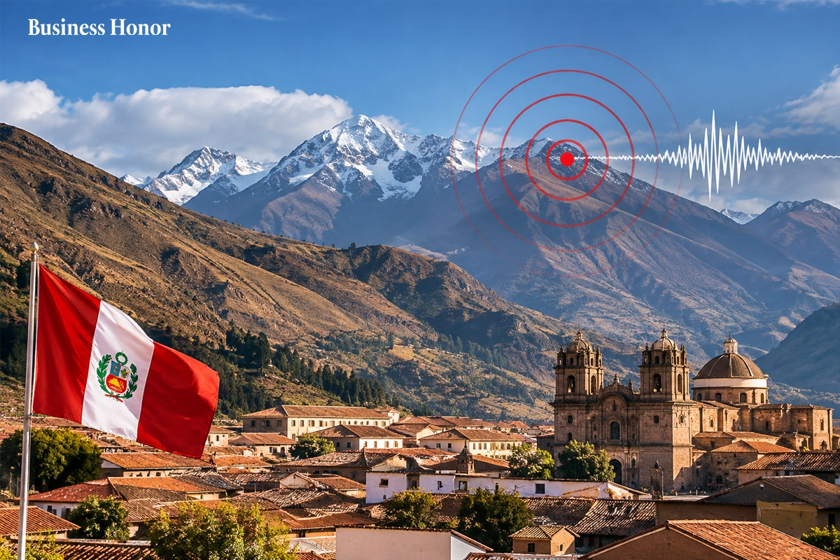
A magnitude 6.7 Peru earthquake struck the central Andes near Junín on Friday, shaking Lima. Officials reported no immediate casualties or material damage.
|
A magnitude 6.7 earthquake hit the central Andes in Peru on Friday, November 20, affecting many towns in the area, including Lima, the country's capital. No immediate injuries or damage were reported after the quake. The Peru earthquake latest updates have drawn attention to the region's seismic activity and the importance of monitoring earthquake-prone areas.
The earthquake took place at 7:09 p.m. local time, according to information from the United States Geological Survey (USGS). The epicenter was in the Andes, about 34 kilometers (21 miles) north of Junín, at a depth of 108 kilometers (67 miles). The magnitude 6.7 earthquake near Junín was also felt in Lima, raising concerns among residents.
This earthquake could be felt in Lima, where people were said to have dashed out into the streets because of the shaking buildings. According to the Associated Press , Peru's Geophysical Institute reported that there was no immediate damage or casualties. The Mayor of Carhuamayo, Abdel Vega, also reported to a local TV channel that there had been no reports of victims or damage.
The earthquake struck in an area that is prone to earthquakes. Peru is located along the Pacific Ring of Fire, which is a 40,000-kilometer (25,000-mile) area of volcanoes and fault lines around the Pacific Basin. It is responsible for much of the earthquake activity in the world.
However, the USGS is still providing new seismic information as more information comes to light. The USGS earthquake report stated that there was a depth of 108 km and a magnitude of 6.7. More information can lead to changes in the initial calculations.
The recent quake occurred after other destructive earthquakes in the country. According to the Associated Press, the magnitude 6.7 earthquake in the Andes of Peru in August caused two injuries and damaged houses, health centers, and schools. The magnitude 5.5 earthquake in the Junín area in July caused six deaths and 30 injuries. Business Honor observes that the earthquake highlights the need for reliable seismic monitoring, disaster preparedness, and resilient infrastructure to protect communities.
FAQs
When did the magnitude 6.7 earthquake strike Peru?
The earthquake struck on Friday, November 20, 2026, at 7:09 p.m. local time.
Where was the epicenter of the Peru earthquake?
The USGS located the epicenter in the central Andes, approximately 34 kilometers north of Junín.
How deep was the earthquake in Peru?
The USGS reported that the earthquake occurred at a depth of 108 kilometers.
Were any casualties or damages reported?
Peru’s Geophysical Institute and Carhuamayo Mayor Abdel Vega reported no immediate casualties or material damage.
Why does Peru experience frequent earthquakes?
Peru lies along the Pacific Ring of Fire, a major tectonic zone characterized by active faults and volcanic activity.














































.webp)


.webp)



Comments
0 Comments