
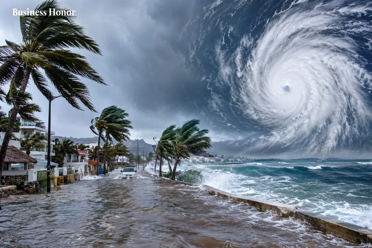
Hurricane Polo has hit Mexico’s Baja California Sur with winds reaching 200 km/h, while authorities warn of flooding, mudslides and dangerous waves.
|
Hurricane Polo made landfall in the southern part of Mexico’s Baja California peninsula early Tuesday, bringing strong winds and very rough sea conditions. The storm made landfall in the state of Baja California Sur, where winds reached up to 200 km/h.
According to Mexico’s National Weather Service, Hurricane Polo produced wind speeds of 150 to 170 km/h, with gusts ranging from 180 to 200 km/h. The waves were 7 to 9 metres high.
Authorities warned that Hurricane Polo in Baja California Sur would bring hazardous conditions for several more hours.
Polo Moved Ashore South of Las Barrancas
Polo moved ashore south of Las Barrancas in western Baja California Sur. This area has fewer inhabitants than the resort strip of Los Cabos at the southern end of the peninsula, reducing the potential impact on the region’s tourist hotspots.
Heavy Rainfall Could Increase Flood Risk
The hurricane is predicted to bring 15 to 30 centimetres of rainfall to Baja California Sur. This rainfall could increase the risk of flash floods and mudslides in the state.
Polo Expected to Cross the Gulf of California
Polo is forecast to move through the Gulf of California and make another landfall on mainland Mexico. Forecasters anticipate that the storm will still be a hurricane when it makes landfall on the mainland. Deteriorating weather conditions are also expected in southern Sonora as Polo moves eastward.
Preparations have already been underway for the storm, with authorities advising residents to stay indoors until morning. Shelters have been set up in vulnerable areas for those who need to evacuate.
Residents also prepared for the storm over the weekend, with increased demand for essential supplies at supermarkets. Shop owners also protected their premises by boarding up windows and doors.
The latest forecasts have drawn greater attention to the Hurricane Polo Mexico landfall and flood risk as the storm moves from Baja California Sur towards mainland Mexico.
Why This Matters
Hurricane Polo is bringing very strong winds, heavy rain and large waves to parts of Mexico. The risk of flooding and mudslides remains one of the major threats as the storm moves towards mainland Mexico.
Business Honor observes that Hurricane Polo is putting parts of western Mexico on alert as the Category 2 storm moves from Baja California Sur toward mainland Mexico.
FAQs
Where did Hurricane Polo make landfall?
Polo made landfall south of Las Barrancas on the western coast of Baja California Sur.
How strong was Hurricane Polo at landfall?
Polo reached land as a Category 2 hurricane, with sustained winds of 150 to 170 km/h and gusts of up to 200 km/h.
What risks does Hurricane Polo pose?
The storm could bring dangerous winds, heavy rainfall, flooding, mudslides and large waves.
Where is Hurricane Polo expected to go next?
Polo is expected to cross the Gulf of California before making a second landfall on mainland Mexico.
Which areas could see worsening weather?
Baja California Sur is facing dangerous conditions, while southern Sonora is also expected to experience deteriorating weather.










.webp)



.webp)

.webp)




.webp)


Comments
0 Comments